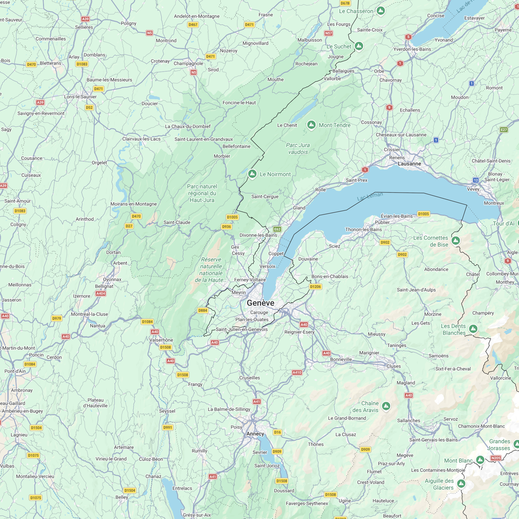
Aircraft details: Select an aircraft or its trail on the map for routes and aircraft information, even after its icon disappears. Retained trails show the last recorded details. You can also open the arrivals list.
Runway 04/22: Landing directions are estimated from aircraft headings and may change. Arrivals are ranked by altitude, so the lowest aircraft may not land next.
Data freshness: Check the status and last reported time above. Positions may be estimated for up to 60 seconds between OpenSky reports.
Weather: The weather forecast shows current conditions and five daily forecasts in Geneva local time. Daily wind values are maximum speeds and gusts with the prevailing direction, so they may describe different moments during the day.
Weather runway estimates: Estimates favour landing into the wind. Runway 22 is preferred in calm, fair conditions: clear or cloudy skies, no precipitation, and wind and gusts below 5 km/h. Other light winds, mainly crosswinds or missing data can prevent an estimate. Actual runway use may change during the day.
Wind compass: North is at the top, with runway 04/22 drawn at 046°/226° true. The arrow points from where the wind comes from; its length shows wind speed and its width shows gust strength. Light winds remain visible and the drawing reaches its maximum size at 60 km/h; the numbers below retain the actual speeds. Calm, variable or missing winds have no fixed arrow.
Last arrival: The blue badge on the Now weather card shows the last recent arrival's runway, inferred from its last tracked heading. Hover over it for the estimated landing time. Leaving tracking does not confirm touchdown or the active runway.
Explore recent flight history and traffic statistics.